
Lone Pine Geospatial LLC
Drone Mapping, Image Processing
& Data Analysis
Drone Mapping and Analysis - Custom Solutions
At Lone Pine Geospatial, we specialize in delivering custom drone mapping and analysis services tailored to meet the specific needs of your project. Utilizing innovative UAV technology combined with advanced geospatial analytics, we provide precise, actionable insights across a wide range of industries — from agriculture, construction and ecology projects to environmental monitoring and infrastructure management.
Our customized drone mapping offerings include:
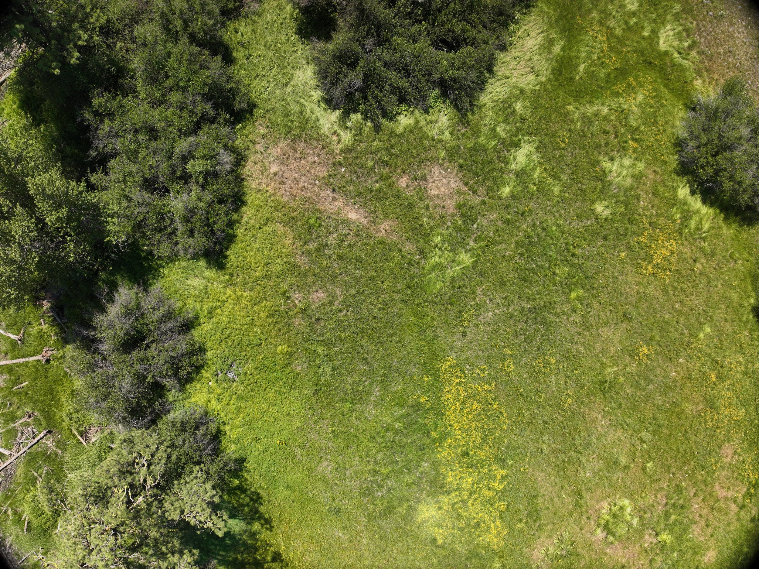
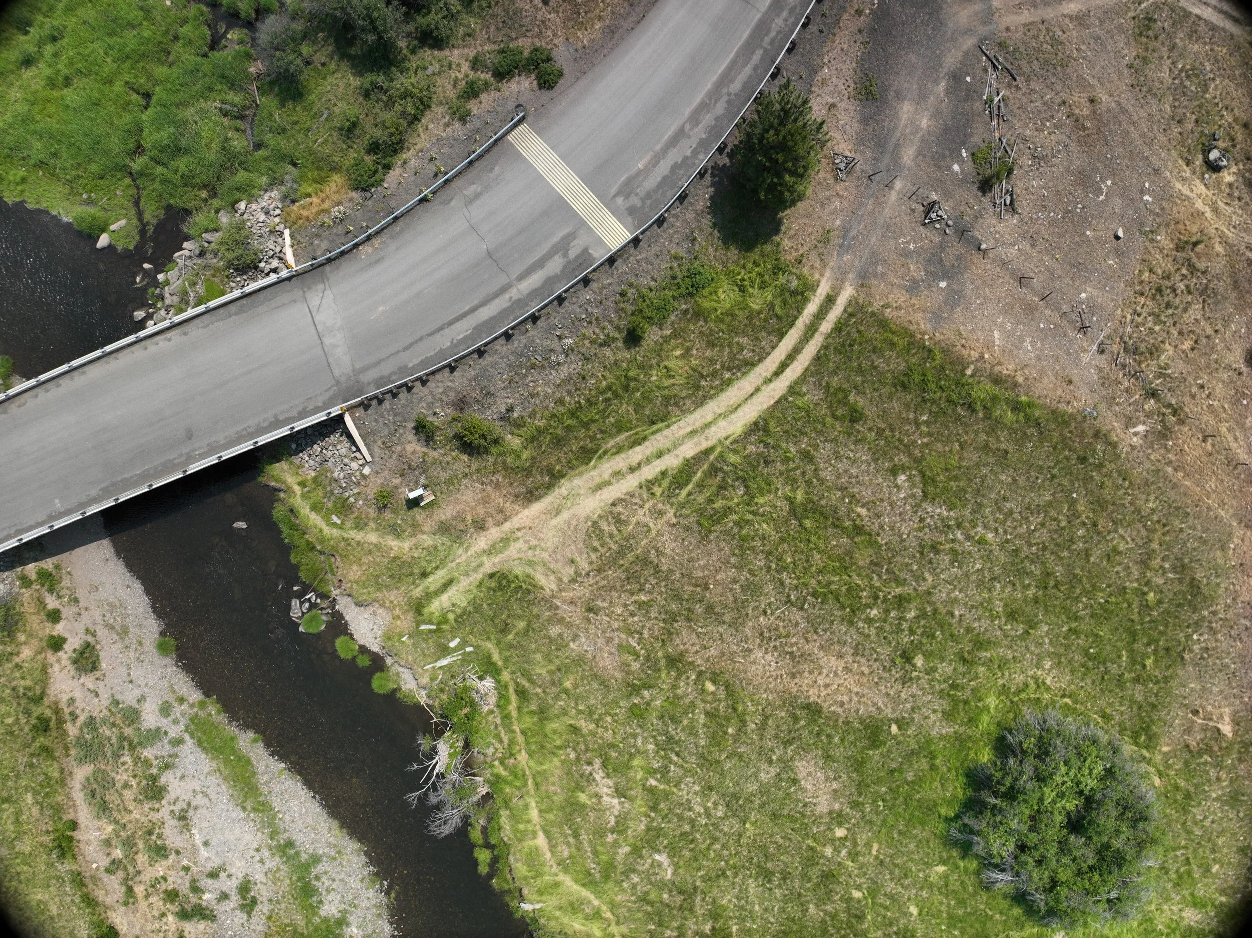
High-Resolution Orthomosaic Mapping: Detailed, georeferenced aerial imagery for accurate site visualization and measurement.
3D Terrain and Asset Modeling: Generate comprehensive digital elevation models (DEMs) and 3D reconstructions for planning, monitoring, and inspection.
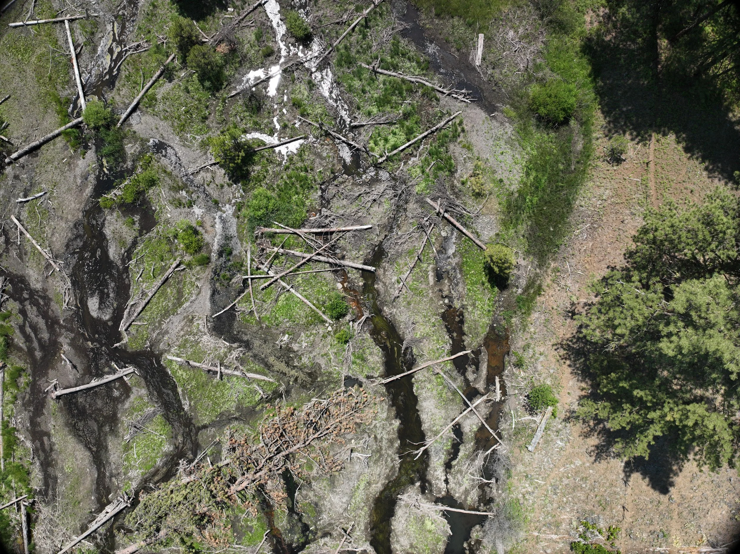
Multispectral Analyses: Capture and analyze data beyond visible light to assess crop or other plant health & conduct environmental assessments.
Change Detection and Progress Monitoring: Track development or environmental changes over time with highly accurate, repeatable datasets.
Custom Analytics and Reporting: Tailored data processing workflows and detailed reports designed to support decision-making and operational optimization.
Our approach ensures clients receive data products and insights precisely aligned with their objectives, regulatory requirements, and technical specifications. From initial planning and flight operations to data processing and expert analysis, Lone Pine Geospatial delivers reliable, cost-effective drone mapping solutions customized for maximum impact.
Part 107 license and insured.
Our Services
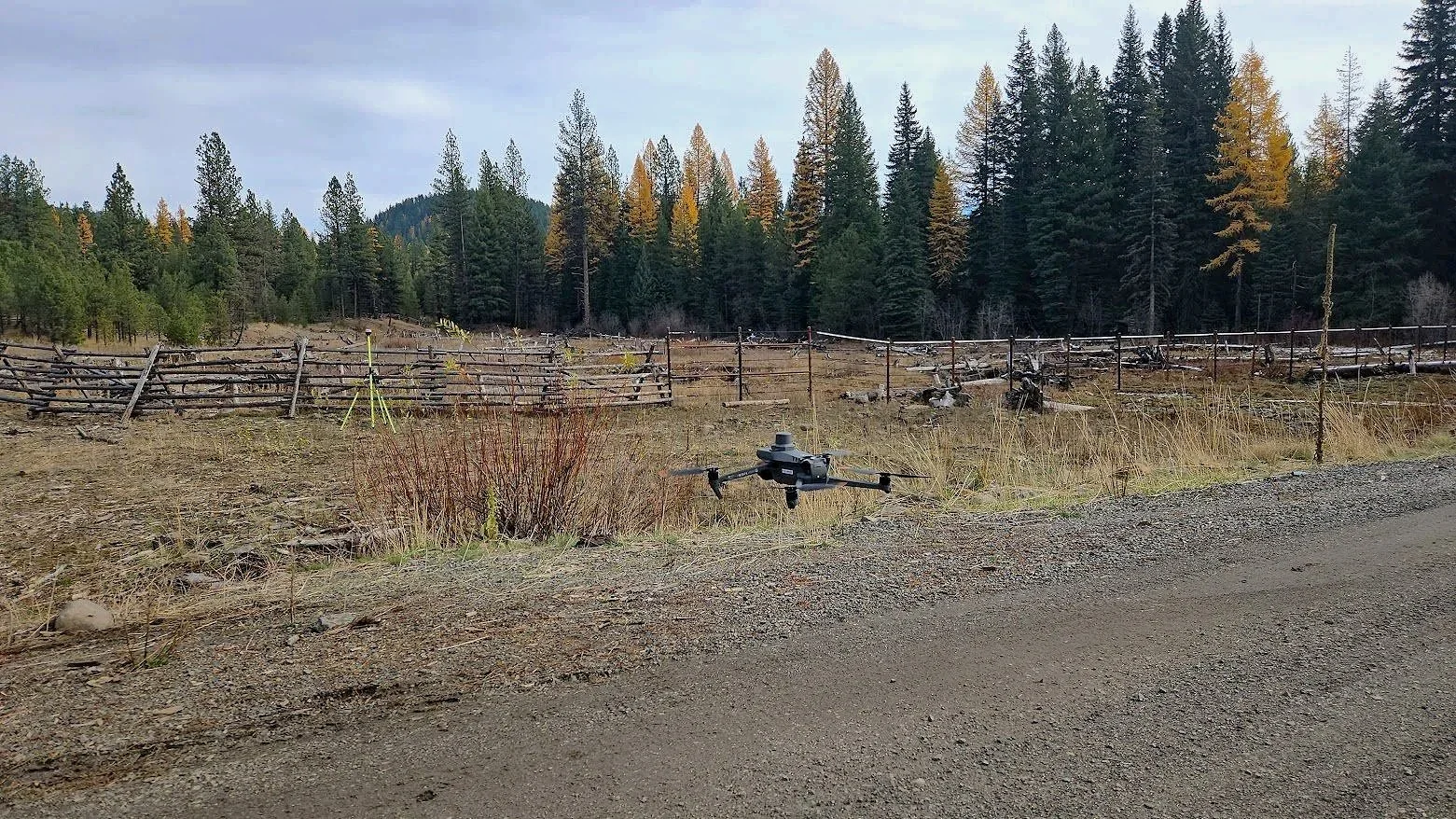
At Lone Pine Geospatial, we use advanced UAS technology to provide customized, high-quality geospatial data for actionable project insights. Our Unmanned Aerial Systems (UAS) or drones, collect precise geospatial imagery data using RGB (visible light) & multispectral sensors to map the desired project (location). They enable fast deployment, cost savings, and access to difficult areas.
UAS data supports agriculture, environmental monitoring, ecology, construction, infrastructure inspection, & many other types of projects. Data acquisition includes flight planning, sensor calibration, and accurate georeferencing via GCPs and RTK GPS. Post flight we use image processing to convert the imagery into usable products (maps) such as orthomosaic, elevation models, and 3D point clouds.
UAS Image processing transforms drone-captured data into map form to extract actionable intelligence for agriculture, forestry, construction, ecology, environmental monitoring, urban planning, and many other projects.
Main Processing Aspects :
Georeferencing & Orthorectification: Align images to geographic coordinates using GPS and ground control points for creating accurate maps to be used on demand.
Data Integration: Combine imagery with other datasets (e.g., DEMs, cadastral maps) for context.
At Lone Pine Geospatial LLC, we empower clients to harness the full potential of their geographic data, delivering precise, actionable intelligence tailored to their unique operational needs.
The interpretation of location-based data reveals patterns, relationships, and trends in geographic space. This is enhanced by integrating various data sources such as drone data, GPS data, and geographic information system (GIS) layers to support decision-making in ecology, urban planning, environmental management, agriculture, and transportation projects.
Stay tuned for the latest advancements and updates from Lone Pine Geospatial LLC. We're committed to delivering innovative geospatial solutions designed to empower your projects and drive success.