
Frequently Asked Questions
-
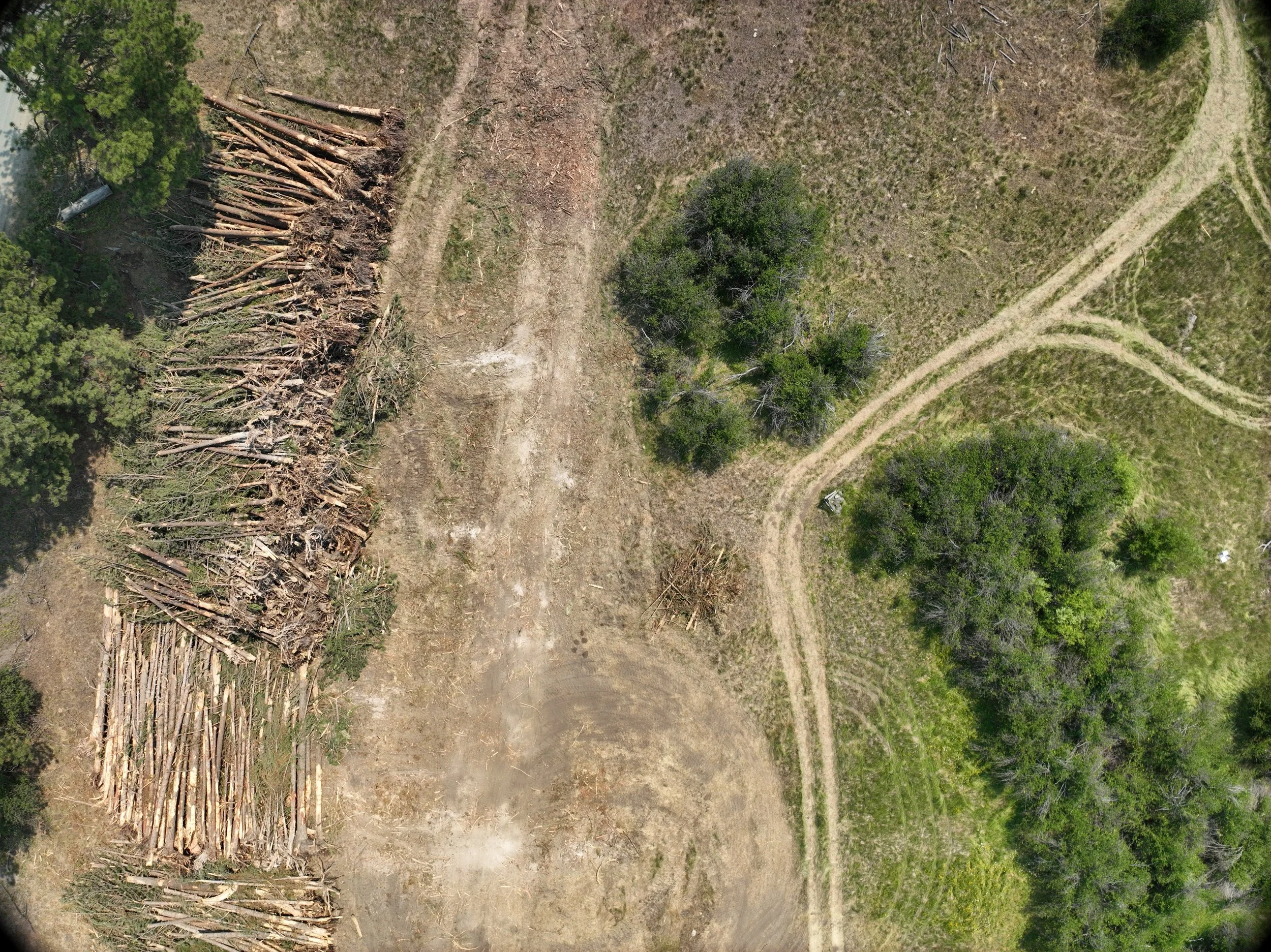
While our roots are in environmental monitoring, we provide precision mapping and 3D modeling for agriculture, construction, forestry, and infrastructure management..
-
We use RTK-enabled drones and Ground Control Points (GCPs) to ensure high-level spatial accuracy. This allows us to produce georeferenced orthomosaics and digital elevation models suitable for precise site measurements and earthwork calculations.
-
Yes. Our multispectral sensors capture data beyond visible light to calculate indices like NDVI. This helps producers identify water stress, nutrient deficiencies, or pest issues in a variety of crops and timber stands.
-
We offer repeatable datasets on a schedule that fits your needs—whether it is weekly site updates for a construction project or seasonal health checks for agricultural land.
-
Yes. Lone Pine Geospatial is fully Part 107 licensed and carries comprehensive UAS liability insurance for all operational environments.
-
We deliver industry-standard files that integrate seamlessly into your existing workflows, including GeoTIFFs, .las point clouds, .obj 3D models, detailed PDF reports, and more.