
 Image 1 of 1
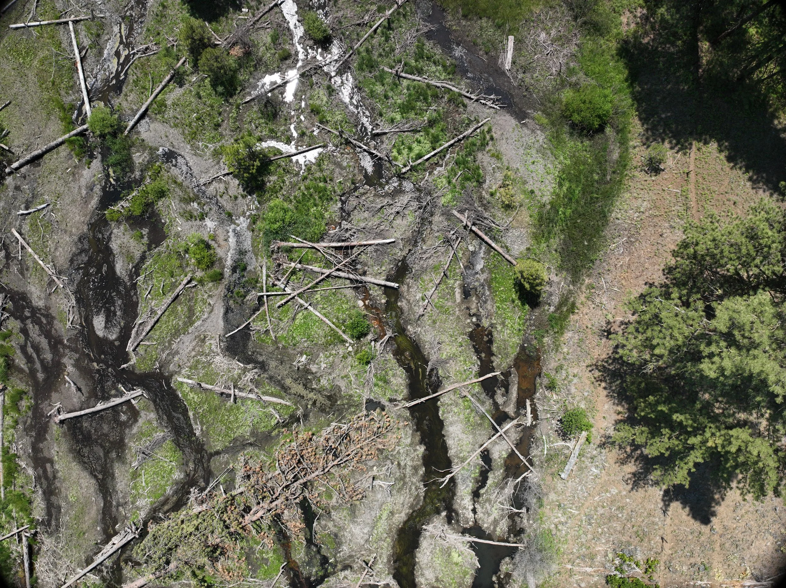
At Lone Pine Geospatial, we use advanced UAS technology to provide customized, high-quality geospatial data for actionable project insights. Our Unmanned Aerial Systems (UAS) or drones, collect precise geospatial imagery data using RGB (visible light) & multispectral sensors to map the desired project (location). They enable fast deployment, cost savings, and access to difficult areas. UAS data supports agriculture, environmental monitoring, ecology, construction, infrastructure inspection, & many other types of projects. Data acquisition includes flight planning, sensor calibration, and accurate georeferencing via GCPs and RTK GPS. Post flight we use image processing to convert the imagery into usable products (maps) such as orthomosaic, elevation models, and 3D point clouds.
At Lone Pine Geospatial, we use advanced UAS technology to provide customized, high-quality geospatial data for actionable project insights. Our Unmanned Aerial Systems (UAS) or drones, collect precise geospatial imagery data using RGB (visible light) & multispectral sensors to map the desired project (location). They enable fast deployment, cost savings, and access to difficult areas. UAS data supports agriculture, environmental monitoring, ecology, construction, infrastructure inspection, & many other types of projects. Data acquisition includes flight planning, sensor calibration, and accurate georeferencing via GCPs and RTK GPS. Post flight we use image processing to convert the imagery into usable products (maps) such as orthomosaic, elevation models, and 3D point clouds.