
 Image 1 of 1
UAS Image processing transforms drone-captured data into map form to extract actionable intelligence for agriculture, forestry, construction, ecology, environmental monitoring, urban planning, and many other projects.
Main Processing Aspects :
Georeferencing & Orthorectification: Align images to geographic coordinates using GPS and ground control points for creating accurate maps to be used on demand.
Data Integration: Combine imagery with other datasets (e.g., DEMs, cadastral maps) for context.
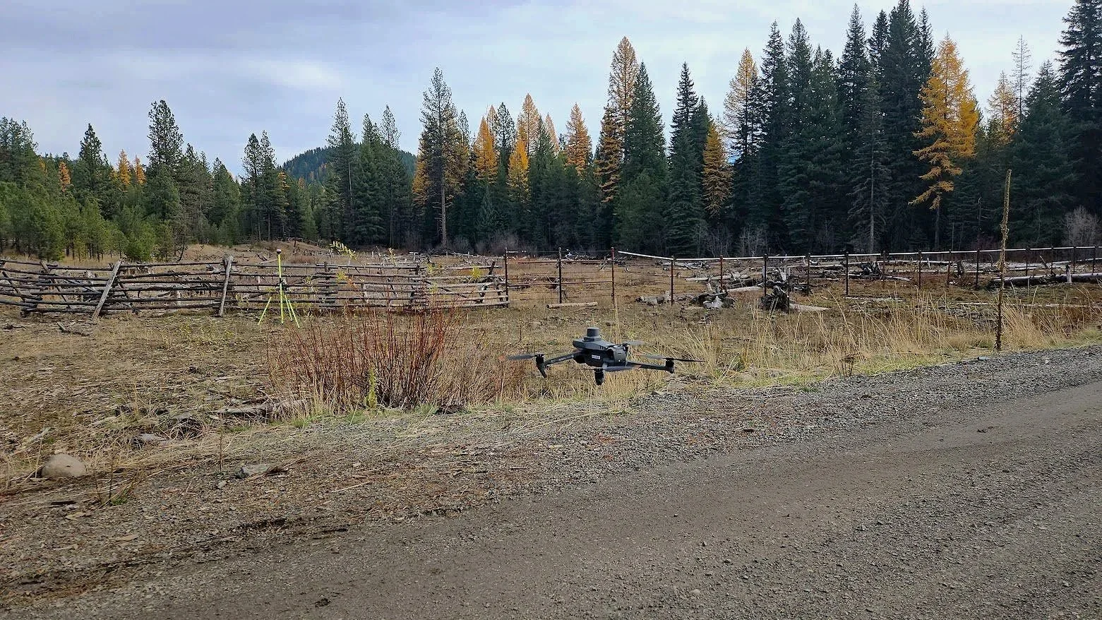